Tool

query_climate_data
Uses: Climate Risk Analysis, Environmental Compliance Insights, Pollution Trend Tracking
Farming, ranching, agtech, crop science, aquaculture, food processing, dairy, forestry
Agriculture feeds 8 billion people using increasingly constrained resources — arable land, fresh water, and labor are all under pressure. AI agents are enabling precision agriculture that produces more with less, optimizing every input from seed selection to harvest logistics while reducing environmental impact.
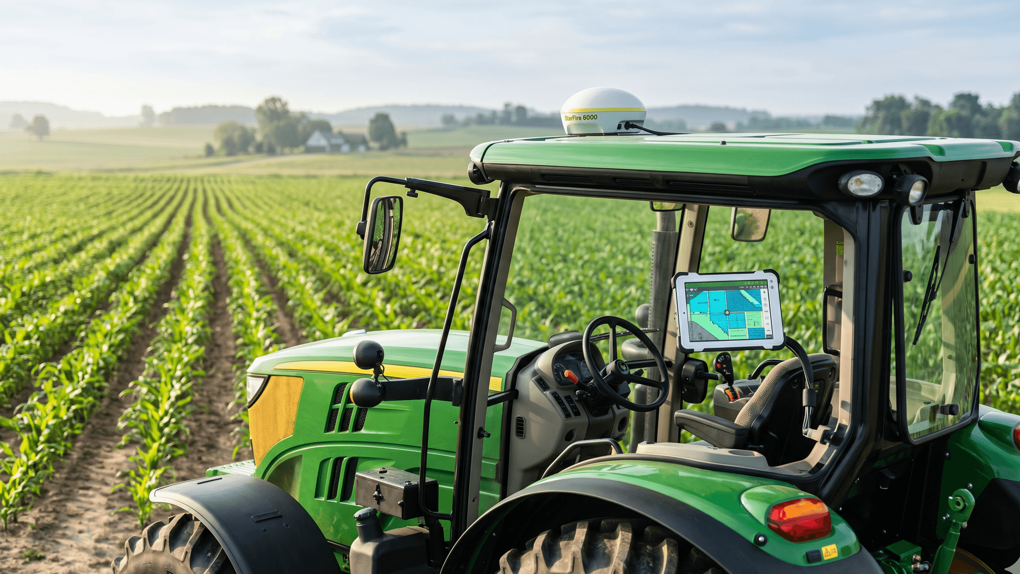
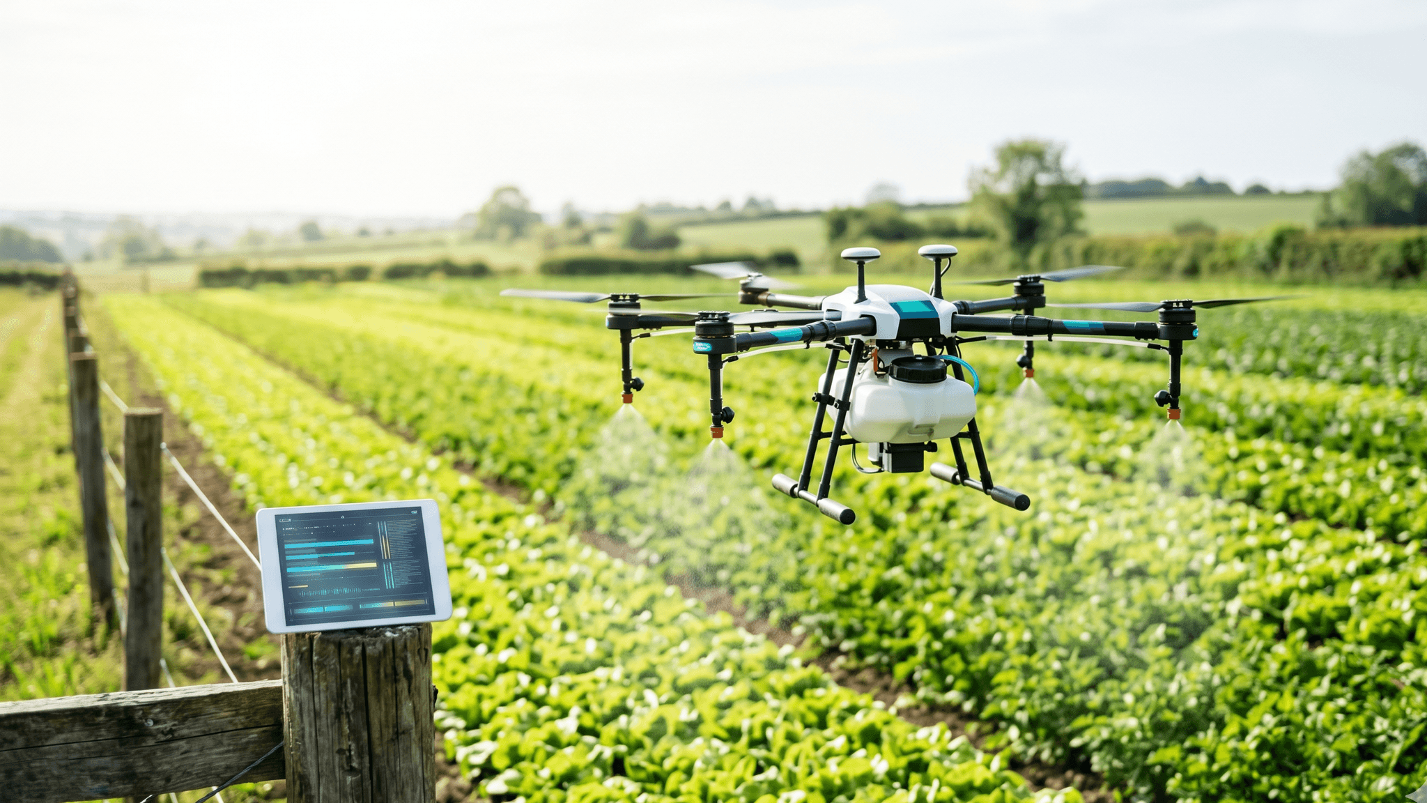
AI agents process satellite imagery, soil sensor data, and weather models to generate prescription maps for variable rate seeding, fertilization, and irrigation. John Deere's See & Spray technology uses computer vision agents mounted on sprayers to identify individual weeds and apply herbicide only where needed — reducing chemical use by up to 77%. Climate Corporation (owned by Bayer) provides AI-driven field-level recommendations that optimize planting density and nutrient application based on yield potential maps.
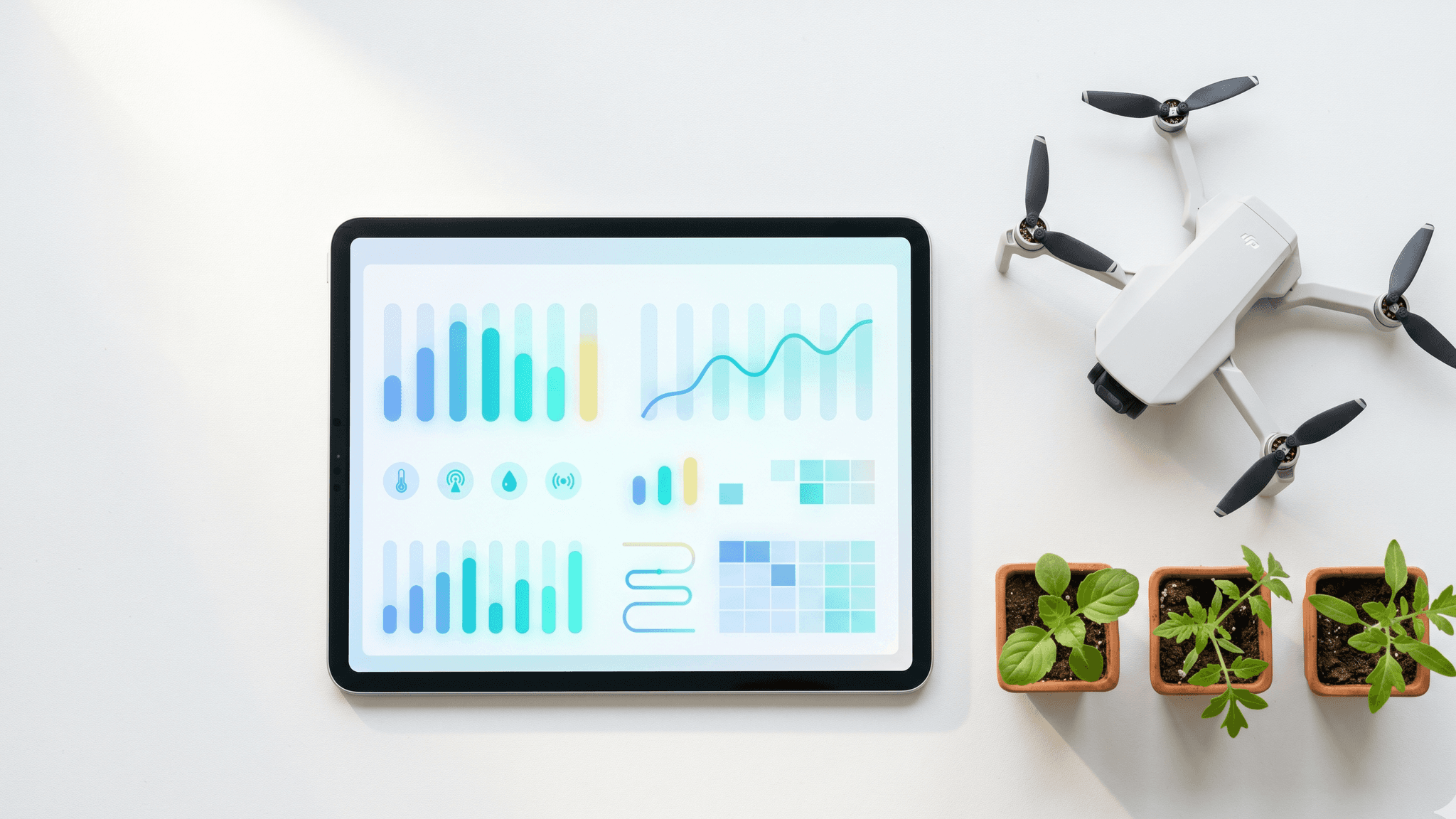
Drone-mounted and satellite-based AI agents monitor crop health across thousands of acres daily. Multispectral imaging detects nitrogen deficiency, water stress, and disease onset before symptoms are visible to the human eye. Plantix and Taranis deploy mobile and aerial AI agents that identify specific crop diseases and pest infestations, recommending targeted treatment protocols that reduce crop loss by 20–30%.
AI agents combine historical yield data, real-time weather conditions, soil moisture readings, and satellite imagery to predict yields at the field and sub-field level. These predictions inform harvest scheduling, storage allocation, and marketing decisions — allowing producers to lock in forward contracts at optimal timing. Descartes Labs processes petabytes of satellite data to generate commodity yield forecasts that inform trading decisions worldwide.
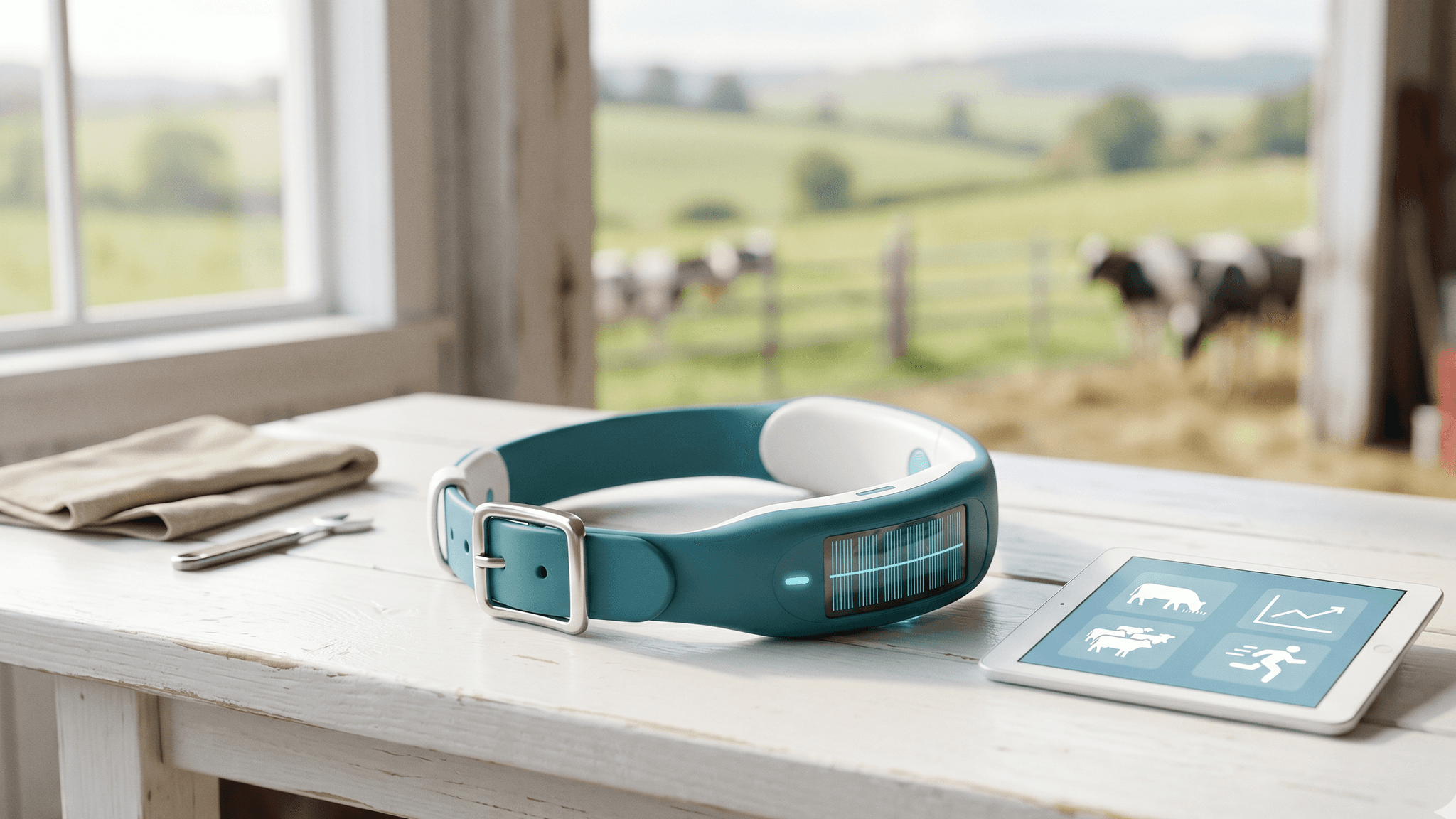
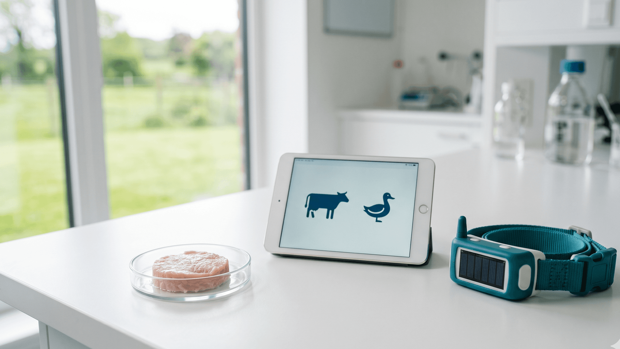
AI agents monitor animal health, feeding efficiency, and reproductive cycles in dairy, beef, and poultry operations. Computer vision systems from Cainthus (acquired by Ever.Ag) track individual animal behavior, detecting lameness, heat events, and illness days before clinical symptoms appear. Automated feeding systems adjust rations based on milk production, weight gain, and nutritional requirements for each animal.
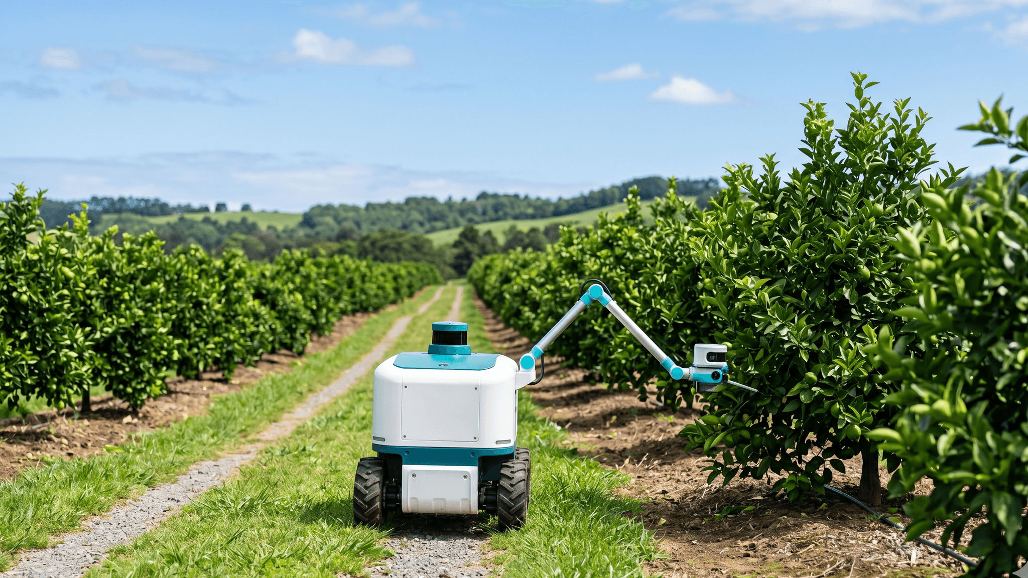
Food production supply chains require traceability from field to shelf. AI agents manage lot tracking, cold chain monitoring, quality testing, and regulatory documentation. In food processing facilities, computer vision agents inspect products on production lines for contamination, size consistency, and packaging integrity — ensuring food safety compliance while reducing waste from over-rejection.
The farms and food producers achieving the highest yields, lowest input costs, and best environmental outcomes are using AI agents as their operational intelligence layer. Precision agriculture is no longer a premium option — it is becoming the standard for operations that need to remain productive and profitable under tightening resource constraints.
The House is scheduled to vote the week of April 27 on the Farm Food and National Security Act of 2026, a bill whose Section 6302 would reimburse farmers 90 percent of the cost of adopting AI and precision agriculture equipment through EQIP. The provision also directs USDA, NIST, and the FCC to co-author voluntary industry-led standards for connectivity, cybersecurity, and AI on farms. Tariffs, Nebraska's new agricultural data privacy law, and a tight floor-vote count will shape what federal money actually buys.
A roundup of the five agriculture AI stories worth your time from April 15-20, 2026 — from the Farm Bill's 90% AI subsidy heading to the House floor to the products already shipping that the subsidy would fund.

In five days, AI arrived at every link of the food supply chain — Bayer designing herbicides in silico, Chef Robotics crossing 100 million production meal servings, Airbus AI tracking cabin waste, Klim turning regenerative agriculture into a cashflow argument, and agentic shoppers reaching the grocery aisle. Washington moved in parallel, with a new $20 million USDA carve-out for specialty-crop automation and a draft Farm Bill heading to the House floor that would raise the precision-agriculture cost-share to 90 percent. The week redefined agriculture AI as a supply-chain story, with the most consequential decisions happening off the farm.
Five stories from 2026-04-14 to 2026-04-19 showing AI arriving across every link of the food supply chain — Bayer's in-silico herbicide, Chef Robotics' 100M production servings, USDA's $275M specialty-crop grant with a $20M automation carve-out, a Farm Bill heading to the House floor, and agentic commerce crossing into food and beverage.
Halter's $220 million Series E, led by Peter Thiel's Founders Fund, prices animal health AI at a $2 billion valuation — the clearest public signal yet that livestock-focused AI has moved into scaled production. The round arrived the same week as a second Singapore cultivated-meat approval, a compressed AI deployment playbook for ag lenders, and fresh evidence that the federal food recall system is still running years behind the food it is supposed to protect.
Halter's $220M Series E at a $2B valuation anchored a week of animal health AI milestones — cultivated duck's second Singapore approval, a $51.6B market forecast, and a 90-day ag-lender AI playbook — while a PIRG report documented multi-year food recall delays.

Between April 13 and April 15, 2026, four farm AI products left pilot status, the UK committed public-private funding to deploy AI and robotics on working farms, and specialty-crop vendors began pricing in crop cycles rather than demo hours. Agriculture AI is running in production across hardware, software, and transactional fronts simultaneously, and buyers now have enough specificity — ROI claims, deployment timelines, pricing frameworks — to evaluate tools against their own season.
A compressed April news cycle pushed farm AI past the pilot stage — GROWMARK's cooperative agronomy agent, Polybee's physical AI drones, GEODASH spraying drones, the UK's £50M deployment scheme, and Carbon Robotics hitting $100M revenue all landed in one five-day window.
Full Claude Code transcript showing an AI agent executing the Gluten-Free Dinner Recipes to Kroger Cart workflow -- generating recipes, saving to Google Docs, searching Kroger, and adding 41 items to the cart.
Watch an AI agent generate 5 gluten-free dinner recipes, save them to Google Docs, search Kroger for all ingredients, and add 41 items to a Kroger cart -- all autonomously using AgentPMT workflow skills.